
Our Services
-
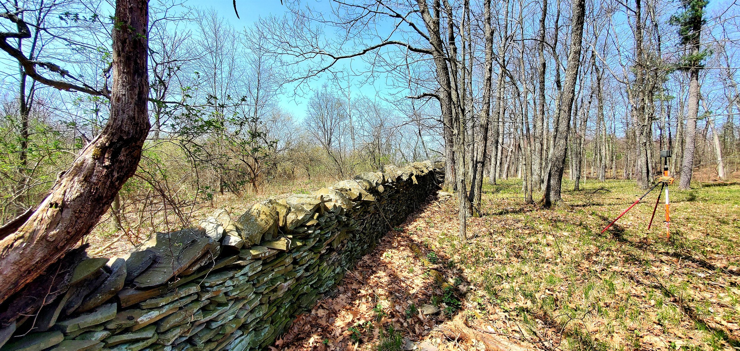
Boundary Retracement Surveys, specializing in large tracts of land
Boundary retracement surveys are conducted to determine and reestablish the boundaries of a property using the record description of the property and property line evidence.
-

Estate Planning Surveys
An estate planning survey is essential for facilitating property distribution, inheritance, sale, or development among multiple owners or beneficiaries of an estate. We can prepare preliminary sketches to aid in your planning.
-

Global Navigation System Surveys
GNSS is employed in various fields, including aerial mapping, machine control, agriculture, environmental and scientific monitoring, and geospatial analysis.
-

Land Subdivision Surveys
A subdivision survey is a detailed assessment and mapping of a parcel of land, typically conducted to divide it into smaller lots or tracts for development or sale purposes, ensuring legal compliance and accurate delineation of property boundaries.
-

Topographic Surveys
Topographic surveys are conducted to gather detailed information about the natural and man-made features of a specific area of land, including elevation, contours, trees, buildings, and infrastructure, which is crucial for various purposes such as land development, construction planning, engineering design, or environmental assessments.
-

Flood Elevation Surveys
Flood elevation surveys are typically needed when determining the risk and potential impact of flooding on a property, particularly in flood-prone areas, and is often required for obtaining flood insurance, securing building permits, or complying with local zoning regulations.